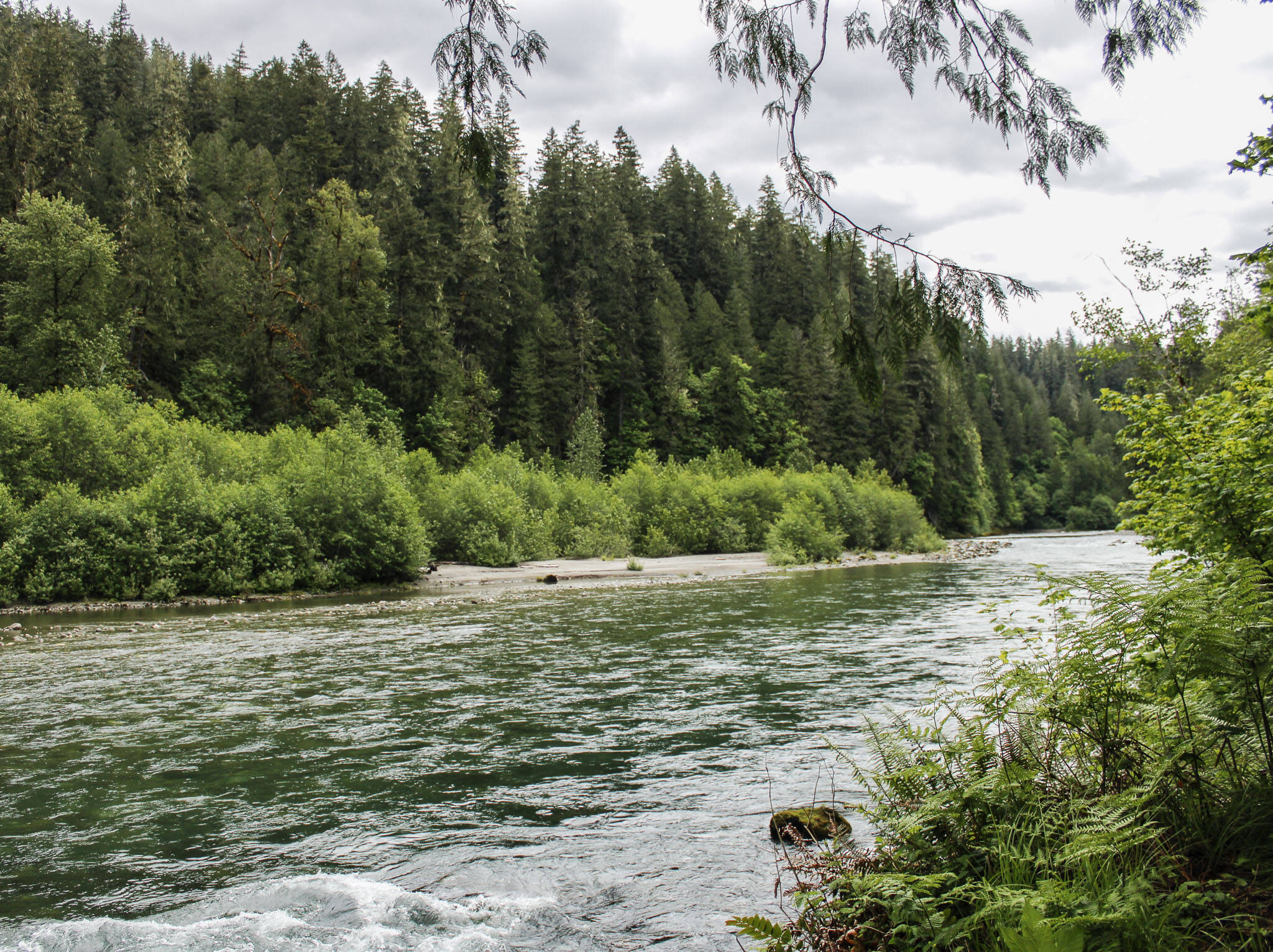
The Sauk River’s rapids roared in the distance, audible from the trailhead that shares its name.
About a mile long, the Old Sauk River Accessible Loop is labeled wheelchair-friendly by the mobile hiking guide AllTrails: the loop is four-feet wide, with packed gravel and a gentle grade.
But for locals with physical disabilities, a trail’s accessibility is determined by more than its path.
Are there restrooms at the trailhead?
Are there tree roots or stumps hampering the walkway?
“Going and scoping it out is really the best way to determine,” said McKenzie Click, program director for the Outdoors for All Foundation, an adaptive recreation organization based in Seattle.
At a Snohomish County People First meeting last month, local disability advocates discussed the types of trails they appreciate the most. Many said they favor paved paths or boardwalks.
READ MORE: Knowledge is power: New guidebooks map accessible PNW trails
None of the chapter members drive, so they depend on public transportation, said Kylie Walsh, who works for The Arc of Snohomish County and facilitates People First meetings.
“There are some accessible paved trails and boardwalks within our communities,” Walsh said. “But they are rarely serviced by bus routes.”
Walsh has struggled to find outdoor venues in the county that meet this criteria, when planning summer events for the People First chapter.
With the app TOTAGO (which stands for “turn off the app — go outside”), residents can type a specific trail into the search engine and find the nearest bus stop.
Finding accessible trail information “takes far too much time and energy,” wrote Disabled Hikers founder and director Syren Nagakyrie in a blog post. So Nagakyrie often consults guidebooks, searchwa for images online and calls land managers to parse together accessibility information about the trail.
Here are 10 trails with accessible features in Snohomish County — many of which local disability advocates have recommended.
1. Centennial Trail (Snohomish)
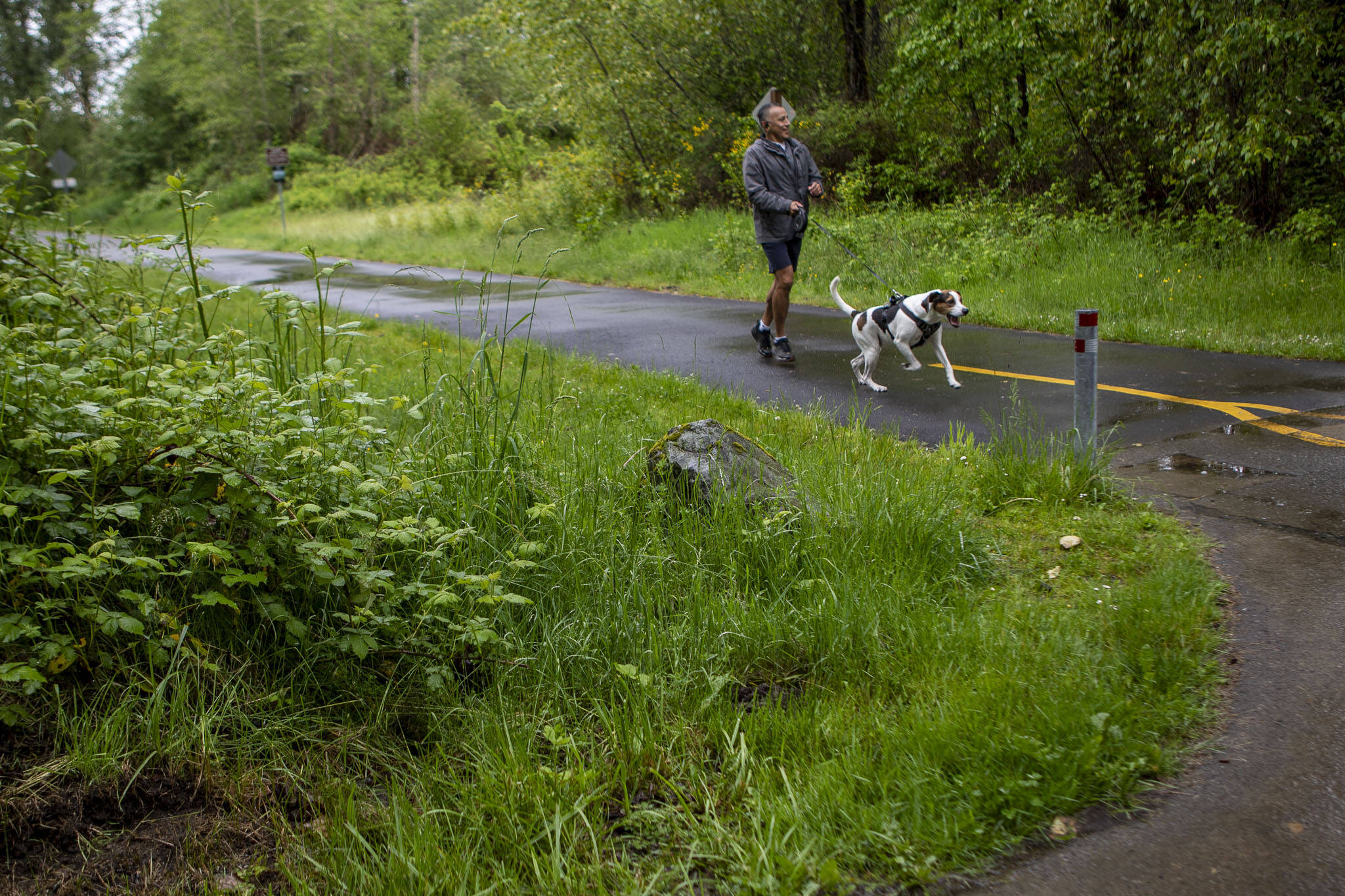
About 30 miles, the Centennial Trail stretches from Snohomish, through Lake Stevens, ending miles north of Arlington.
Nearly all of the paved trail’s 12 access points have bathrooms and parking lots.
The 10-foot-wide paved walkway runs parallel to an unpaved trail for horseback riders.
Snohomish County staff started developing the Centennial Trail in 1989, on the old Burlington-Northern railroad line, as a celebration for George Washington’s 100th birthday. More than 500,000 locals use the trail for recreating and commuting every year, according to the city of Snohomish.
2. Ebey Waterfront Trail (Marysville)
In 2015, the U.S. Army Corps of Engineers — in a project led by the Tulalip Tribes — breached a levee separating Ebey Slough from former farmland.
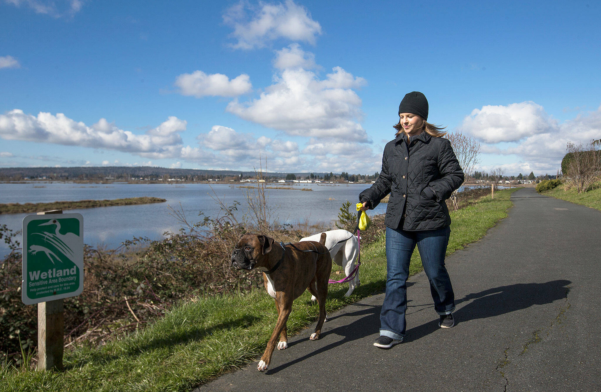
As a result, the nearly three-mile paved Ebey Waterfront Trail now overlooks a salt marsh, a closer resemblance of what the area looked like more than a century ago.
The trail also offers views of the Snohomish River, as well as the Olympic and Cascade mountains.
Visitors can stop at benches stationed throughout the trail and search for river otters, blue herons and other critters in the Qwuloolt Estuary.
At least nine local bus stops are stationed along the Interurban Trail, making the paved path a great choice for locals who use public transportation.
The nearly 25-mile trail starts just past The Daily Herald’s offices on 41st Street and continues through north Seattle.
Public restrooms are located at trail access points in McCollum Park, as well as near the Ash Way Park and Ride, Lynnwood Transit Center and Lake Ballinger.
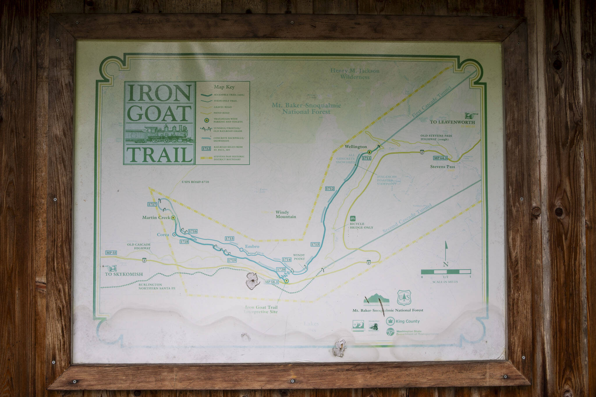
4. Iron Goat Trail via Martin Creek Trailhead (Skykomish)
The first 5.6 miles of the Iron Goat Trail are considered wheelchair friendly, with a combination of pavement, dirt and boardwalk sections.
Tucked between Skykomish and Stevens Pass, the trail is also the site of the most fatal natural disaster in Washington’s history.
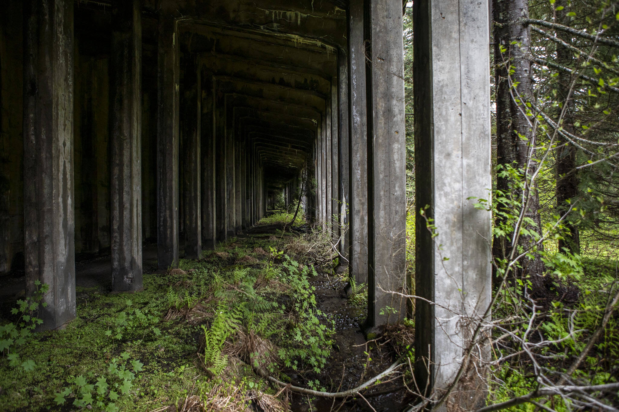
In the early hours of March 1, 1910, an avalanche collapsed on Windy Mountain, killing 96 people as the snow landed on two trains below. The trail has interpretive signage on the Wellington Avalanche Disaster, as well as tunnels and remnants of the former Great Northern Railroad.
The trailhead has accessible restrooms. While labeled as wheelchair friendly, AllTrails advises visitors using wheelchairs, mobility equipment or strollers may need all-terrain tires or adaptive equipment for portions of the trail.
Visitors are required to display a Northwest Forest Pass at the trailhead.
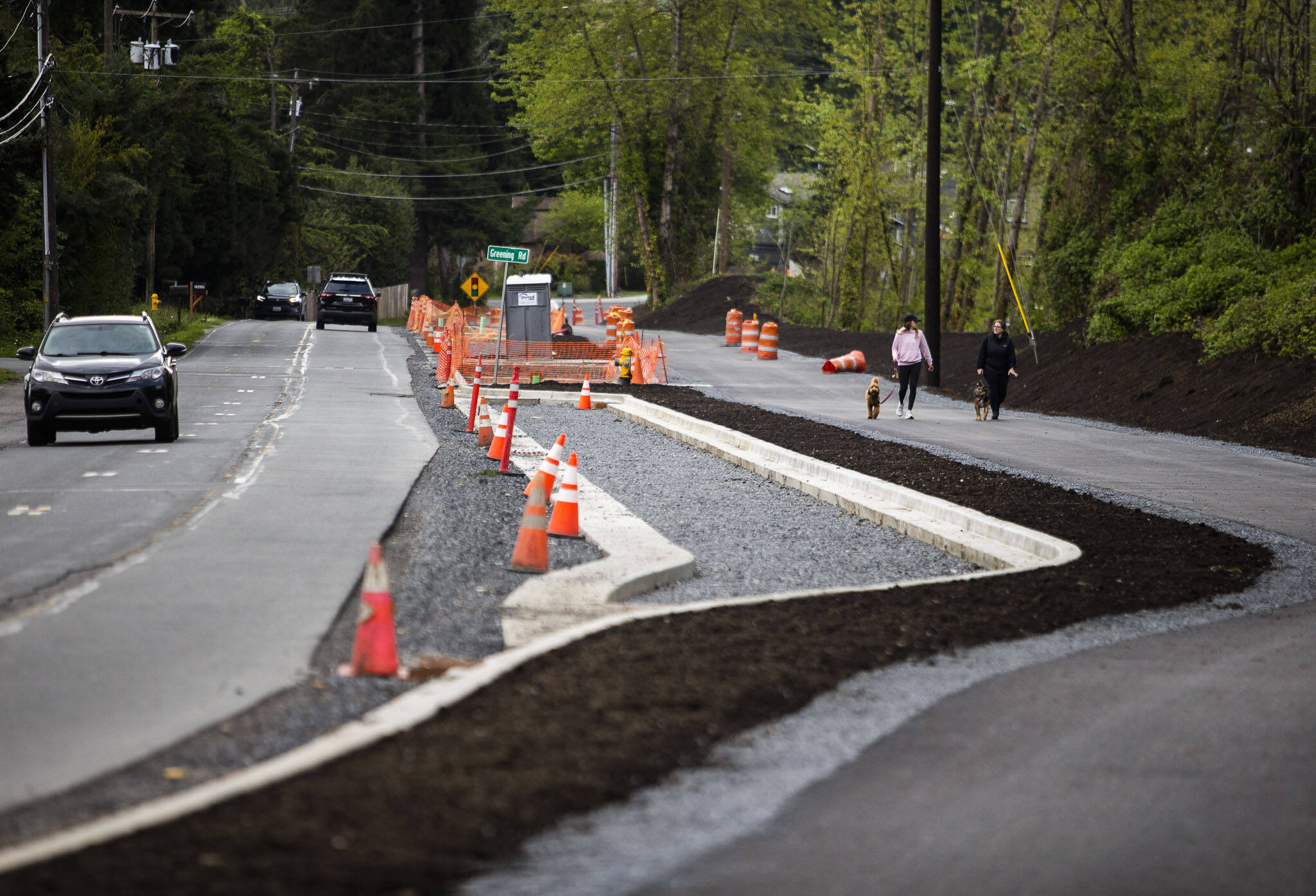
About 24 miles east of the Martin Creek Trailhead, county staff are developing an accessible half-mile loop at Heybrook Ridge County Park.
County staff expect to complete the trail next spring.
5. Langus Riverfront Trail (Everett)
Across from the Snohomish River, the Langus Riverfront Trail is a three-mile trek around Smith Island.
The trail is paved and typically six-feet wide.
Visitors can also access a fishing pier and boat launch for waterfront activities.
The trailhead parking lot has full-service bathrooms, too.
6. Lowell Riverfront Trail (Everett)
Bird watchers can find a slew of species on this paved, three-mile trail along the banks of the Snohomish River.
Visitors have reported spotting fox sparrows, yellow-rumped warblers and hermit thrushes, among other avian creatures.
Playful otters occasionally greet locals as well.
The parking lot, located at Lowell Riverfront Park, also has a restroom.
7. North Creek Trail (Mill Creek)
The five-mile out-and-back trail connects the cities of Bothell, Everett and Mill Creek.
For much of its length, the North Creek Trail is paved and 10 feet wide.
The western edge of the trail follows the North Creek watershed, though trail reports note thick vegetation limits views of the waterway.
At the trailhead near McCollum Park, visitors have access to public restrooms.
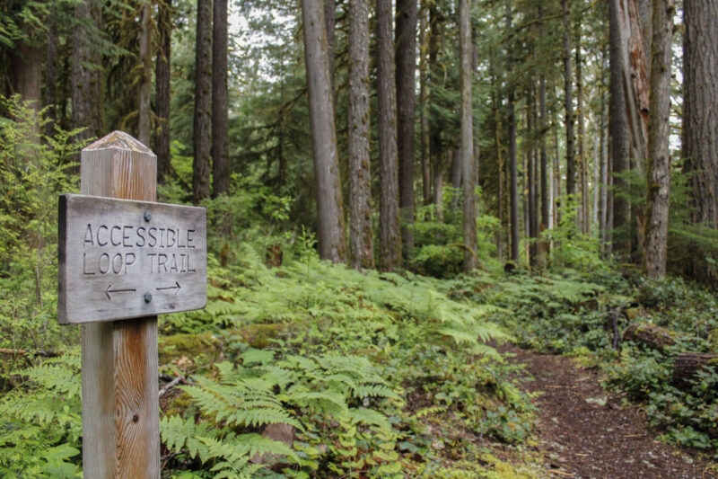
8. Old Sauk Accessible Loop (Darrington)
Before even starting the trail, hikers are greeted by a swath of old-growth Douglas firs, too wide for a treehugger’s arms.
Western sword ferns line the Old Sauk Accessible Loop, too. Robin and Western Tanager chirps provide a natural soundtrack.
Near the halfway point, visitors can take a short detour to a view of the Sauk River.
The trailhead has a paved parking lot and a pit toilet.
Visitors are required to display a Northwest Forest Pass at the trailhead.
9. Willis Tucker Park Loop (Snohomish)
Visitors can circle the 84-acre park on a 1.4 mile paved loop.
Named after Snohomish County’s first county executive, the park offers a splash pad, off-leash dog area and amphitheater.
The county’s parks division offices are headquartered at Willis Tucker Park.
Accessible restrooms are available there.
10. Whitehorse Trail (Arlington)
On an early morning, visitors can see a portion of misty Cascade mountains from Whitehorse Trail’s access point in Arlington.
The paved 27-mile trail winds alongside Highway 530 and the North Fork of the Stillaguamish River, passing by the site of the 2014 Oso landslide. The trail’s eastern terminus ends in Darrington.
Largely 12-feet wide, the trail has paved, packed gravel and dirt sections, as well as wooden bridges with railings.
Whitehorse Mountain, at 6,840 feet, is also visible from the trail.
READ MORE: New partnership aims to bridge accessibility gaps in B.C.’s tourism industry
Plan your adventures throughout the West Coast at westcoasttraveller.com and follow us on Facebook and Instagram @thewestcoasttraveller. And for the top West Coast Travel stories of the week delivered right to your inbox, sign up for our weekly Armchair Traveller newsletter!





 $335M to expand and protect B.C.’s Great Bear coastline