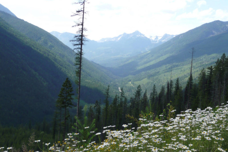
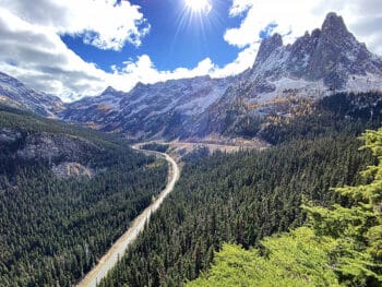
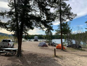
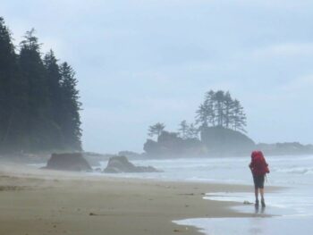
Many locals will admit that hiking in the Creston Valley is one of their favourite pastimes — one that everyone should experience. Not only does it promote good health, but it’s also a great social activity. Difficulty levels vary, but it’s easy to find an outdoor experience suitable for almost everyone.
Here are a few local favourites:
Balancing Rock Trail
Ten minutes west of Creston, this is one of many trails on Mount Creston. It takes about 30 minutes to climb the winding trail, parts of which are quite steep. Balancing Rock (hikers will understand the name when they see it) sits atop a ledge overlooking the Creston Valley and Purcell mountain range. A small pullout on West Creston Road, near its intersection with Highway 3, serves as a parking area. From Balancing Rock, the trail leads west into the woods where hikers experience marshes filled with giant-leafed skunk cabbage and cool, fern-covered forest floors. Where the trail forks on a wooden bridge, heading left takes hikers on a very steep hike a few kilometres farther on the Creston Mountain Trail to enjoy spectacular panoramic views from the mountainside. The trail to the right winds its way along the Fern Forest Trail down the other side of the ridge and into the former Summit Creek Park campground.
Creston Valley Wildlife Management Area
The trails weaving through the CVWMA are open year-round, even when the Wildlife Interpretation Centre is closed. From Highway 3 west of Creston, turn onto West Creston Road and drive to the parking lot on the left. The trails are well-marked and easy to find on maps posted in the area.

| Photo by Caroline Martin |
Lady’s Slipper Trail
This trail is a delight from spring through fall with brilliant shows of wildflowers, including orchids, dotting the path on Arrow Mountain (a.k.a. Goat Mountain to the locals), which provides a backdrop to Creston’s townsite. Best of all, the easily accessible trail starts out only a few minutes’ drive northwest from town. From Creston, follow Highway 3A north, then turn right onto Lakeview- Arrow Creek Road. Follow this road to Foster Road, then continue straight onto the BC Forest Service road and follow it for about six kilometres until a parking lot.
Mount Thompson
To access the top of the mountains overlooking Creston to the east, head east on Highway 3, then turn right onto Canyon-Lister Road. After crossing the bridge, turn left on Whimster Road and follow it to a forestry road (suitable only for high-clearance or 4×4 vehicles). The trailhead for the Thompson Pack Trail and Thompson Rotary Trail is located at 2km on the forestry road. At 3.5km, there is a second trailhead for the Rotary Trail. Continuing along the winding forestry road for another 8.5km will take you to the top of Mount Thompson; here you will find the Thompson Rim trailhead. After crossing the bridge, turn left on Whimster Road and follow it to a forestry road (suitable only for high-clearance or four-by- four vehicles), which winds to the top of Mount Thompson. After parking, hikers may wander through alpine meadows on the ridge’s Thompson Rim Trail or enjoy a picnic with a panoramic view of the Selkirk Mountains to the west and south, and the Purcell Mountains to the east.
Billy Goat Bluffs.
Turn off Highway 3 on the west side of Creston onto Helen Street and watch for the trail head sign on the left. The trail, constructed by the Creston Community Forest organization, takes a winding and often steep route to a forest service road. The up-and-back hike offers a good 5.3 km workout.
Lockhart Creek.
This trail is located about 45 minutes north of Creston on Highway 3A at Lockhart Beach Provincial Park. The first seven kilometres of the trail — maintained by the BC Forest Service and the Lockhart Creek Heritage Committee — are suitable for beginning hikers, while advanced outdoors enthusiasts can continue to the 2,134-metre summit. The park offers treed campsites, and picnic tables and a beach are located across the highway near the trailhead.
Pilot Bay Lighthouse Trail
Near the Kootenay Bay Ferry Landing, just over an hour north of Creston on Highway 3A, turn onto Pilot Bay Road. After 4.5 kilometres, a sign reading “Lighthouse Trail” will alert drivers to pull well off the road, or park a short distance away at a circular turnaround. At the end of the 15-minute walk along the trail is the Pilot Bay Lighthouse, which operated from 1904-1993, and is now maintained by the Friends of West Kootenay Parks.
Ripple Ridge
Get a taste the alpine on this popular two-hour hike that starts with a half-hour drive west on Highway 3 to the summit at Kootenay Pass. Drive to Stagleap Provincial Park and Bridal Lake, then hike south for 2.5 kilometres if you want a true mountain experience. Mountain biking is also popular, and many local bikers enjoy frequenting the numerous logging roads in the area. For bikers who prefer the open road, the Wynndel loop (Highway 3A and Lower Wynndel Road), the Canyon-Lister loop (Highway 21, Canyon Lister Road and Highway 3) and the West Creston loop (Evans Road, West Creston Road, Nick’s Island Road and Highway 3) are popular. An interactive cycling map is online at www.selkirkloop.org.
Fishing and hunting are also popular pastimes, and the Creston Valley is the place to make these outdoor dreams become reality.
Duck Lake is famous for bass fishing — and ice fishing in the winter — and Kootenay Lake is the place for rainbow trout, Dolly Varden and kokanee. And the seemingly endless streams and alpine lakes in the Kootenays certainly make fly fishing a viable option.
Hunting
The Creston Valley has some of the Kootenays’ best big game hunting, and the marshland on the flats is a prime location for setting up blinds and decoys to hunt waterfowl.
To hunt or fish, a valid licence is required, and it’s best to inquire at Sirdar General Store, Wynndel Foods or the Service BC office on Canyon Street for more details. Wynndel Foods offers much of the necessary equipment, as does downtown Creston’s Mawson’s Sports, founded in 1918.
Be careful and plan ahead. As with any outdoor recreational sport, using common sense is very important. Comfortable and sturdy footwear is a necessity — hiking boots give you more protection than do running shoes. This is especially true if your trek takes you in the mountains and wilderness.
While in the great outdoors, be wary of bears, both grizzly and black. Visiting bearaware.ca is the best way to find information on dealing with the creatures.
For information about many other hiking trails and recreation areas, drop into the Visitor Centre at 121 Northwest Blvd., where knowledgeable staff will be pleased to provide suggestions, directions and material to send you on your way to an outdoor experience, Creston Valley style.


 Things to do in Fernie