I’m not really a local, in the sense that I don’t live on Salt Spring Island. I live in Victoria, a short ferry ride away. I feel at home here however, and that comes down to the fantastic folks who do make it their year-round home and the fact that I’ve been going back and forth to Salt Spring my whole life, starting as a kid playing soccer.
It was through soccer that I met my friend whose family has a property on Salt Spring, and she and the island (40 years later) became regular fixtures in my life. While there was never much time to explore during those soccer trips, it’s an omission I’ve been remedying ever since.
Something old is something new
The island offers trails of all levels, and elevations, from gently rolling strolls, to hikes of the are-we-at-the-top-yet variety. With younger family members comes the chance to see things through new eyes, and through my own kids, and now my niece and nephew, I relish seeing things through their uncluttered perspective.
My youngest was a dare-devil forest-pixie, rather like my niece who holds a scientific view of the world, while my oldest was more interested in the challenge and adventure, like my athletic nephew. So with my youngest-now-grown daughter, my dear friend, three canine companions, a miniature Indiana Jones, and a scientific forest pixie, we set out on our adventures.
Duck Creek: a pleasant place for all
Duck Creek is a great walk for younger kids, and is mostly level. The trail meanders along by the gently flowing stream under the cool, green, tree canopy.
Benches along the way provide a place to rest, to contemplate, or simply watch the kids. Popular with dog walkers, the 2km loop was just enough to take the edge off Fido’s energy reserves! Unless you have a Jack Russell (I do), which means several laps may be necessary to make a dent in his energy.
- To get there: From Ganges, head toward Vesuvius. Trail access is on Broadwell or Sunset Drive. Map here.
Stunning views: Mt. Maxwell
Mount Maxwell, one of the highest points on Salt Spring Island, offers many trails and stunning views of Vancouver Island. The viewpoint offers a bird’s eye view of the surrounding area. You can look down on the sea planes and soaring raptors as they pass. Within the park, there are stands of old-growth Douglas fir and Garry oak meadows. This is a favourite spot to picnic in the summer.
- To get there: For the trailhead for the 4km loop, a connector trail from the end of Armand Heights takes you into the trail. Drive to the end of the cul-de-sac on Armand Way. Map here.
- OR for access to other trails: From Fulford ferry terminal, drive north on the Fulford/Ganges Road for 12.6 km and turn left onto Cranberry Drive. The road is rugged! Map here.
Mt. Erskine: Enchanted Forest
Mt. Erskine’s 90m trek is deceptively short. The elevation gain is rapid (207m) and the trail is relentlessly uphill, but the view is breathtaking. For any geologists out there, you’ll see a unique aggregate rock formation that almost looks manmade.
The trail isn’t too tough for most kids over six … and there is the added incentive to spot the fairy doors along the way!
At 9 and 11 years old, my niece and nephew had no problem with the trail. The fairies worked their magic on our unruly mob, and they ran up, dogs in tow, leaving us adults trailing happily in their wake as we listened to their shouts of delight and the occasional “woof!” Each fairy door is unique and lights up the imagination, the setting reminiscent of Tolkien. Bilbo Baggins might live just around the corner, or perhaps Gandalf. The forest is filled with magic of all kinds and so is the view!
- To get there: For the trailhead, drive to the end of Rainbow Road, turn left onto Collins Road. Drive 0.8 km and look for a red trail marker on the left. Map here.
Chris Hatfield Trail: Two paths diverged in the woods…
The 1km Chris Hatfield Trail is another great one for kids, with a beautiful pebble beach down one fork, and access to the Ruckle Park network of trails down the other for a longer walk. This one is named after a local man who provided the land for far less than its market value to create a park for everyone to enjoy.
The trails are lovingly curated by local folks and suit the culture of Salt Spring perfectly. Along the way, watch for more fairy doors, inukshuks, and even what might be the home of a forest troll. Our scientific forest sprite was in her element on this one, especially with a beach to explore at the end. While the trail is fairly level, good footwear is recommended.
- To get there: For the trailhead, take Beaver Point Road, then Bulman Road, then turn right onto Meyer. The trail is clearly marked. Map here.
Ruckle Park: Camping with a view
Ruckle Park offers a variety of beautiful and fairly easy trails to explore. Wend your way through the forest, and take in the ocean views along the 7 km of shoreline. Camping is available, and these campsites have one of the best views available anywhere. Pitch your tent, sit back and watch the show. Pleasure craft and ferries sail past, and wildlife abounds.
If you are like me, and travel with a canine companion, it’s important to note that dogs are not allowed in every part of the park, particularly the working farm, and as always, should be under control. Sheep are occasionally loose and in the road way, and have the right of way!
- Trailhead: Follow Beaver Point Road to the end. Ample parking is available. Map here.
- Camping information here.
As always, with any hike, take nothing but memories and photos and leave nothing but footprints.
Plan your adventures throughout the West Coast at westcoasttraveller.com and follow us on Facebook and Instagram @thewestcoasttraveller. And for the top West Coast Travel stories of the week delivered right to your inbox, sign up for our weekly Armchair Traveller newsletter!

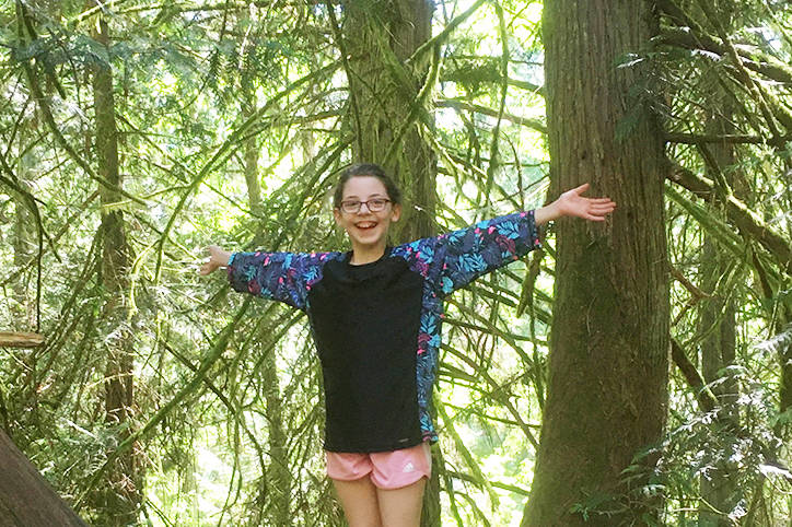
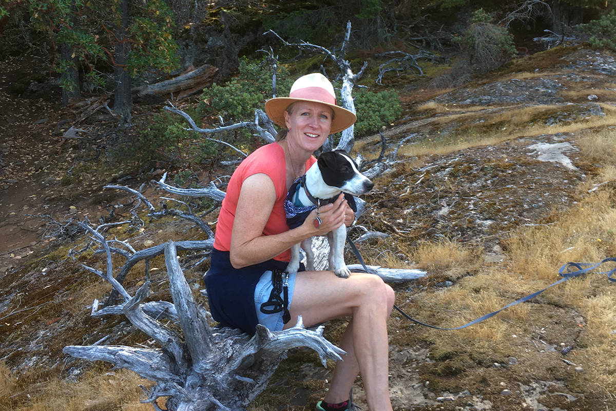
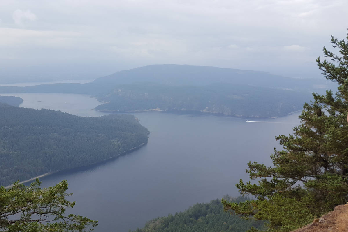
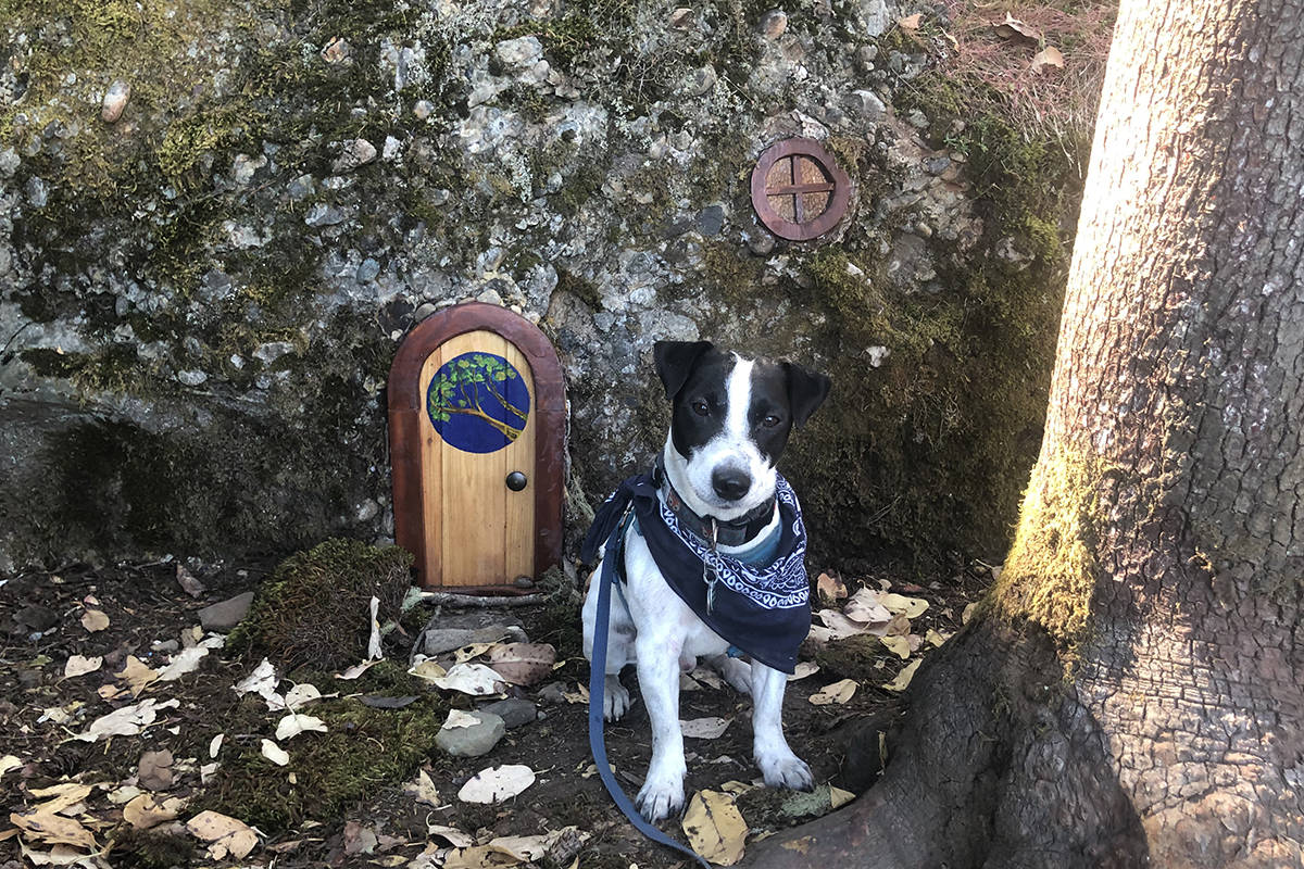
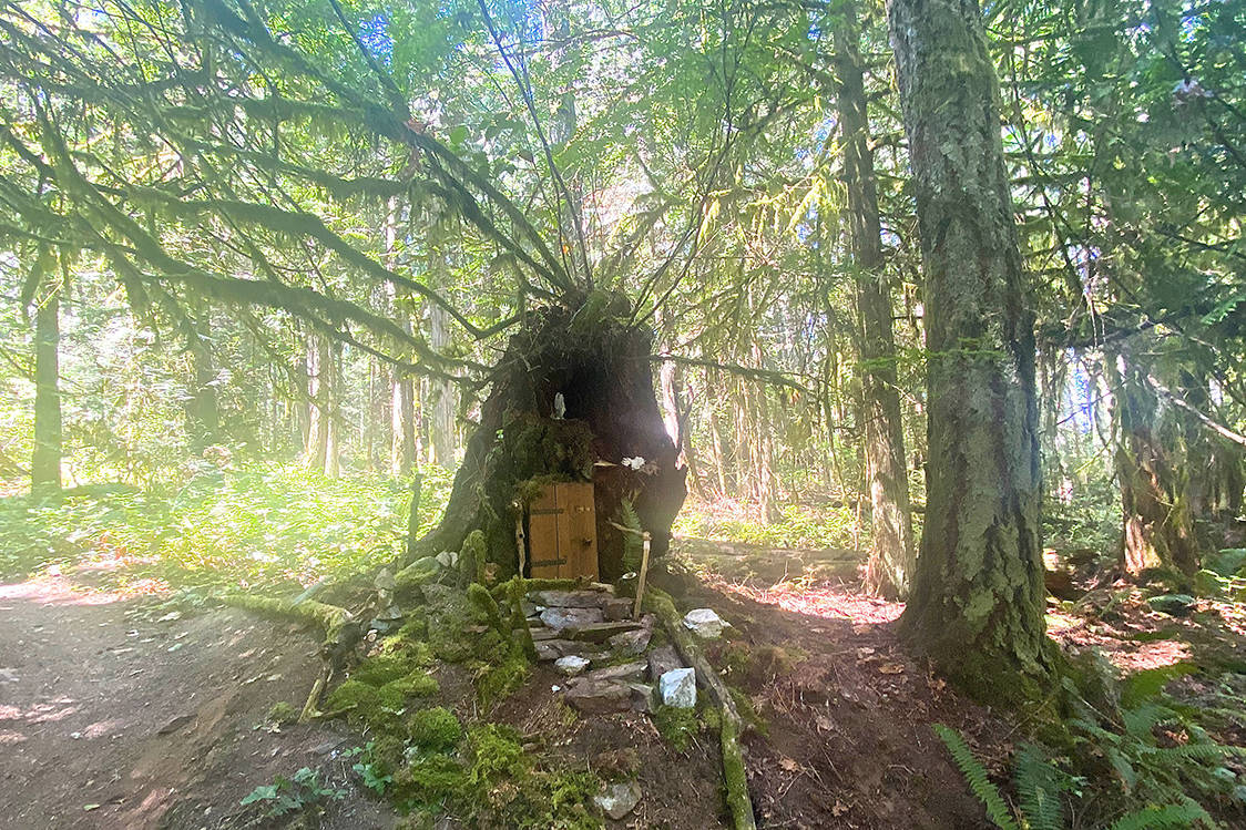
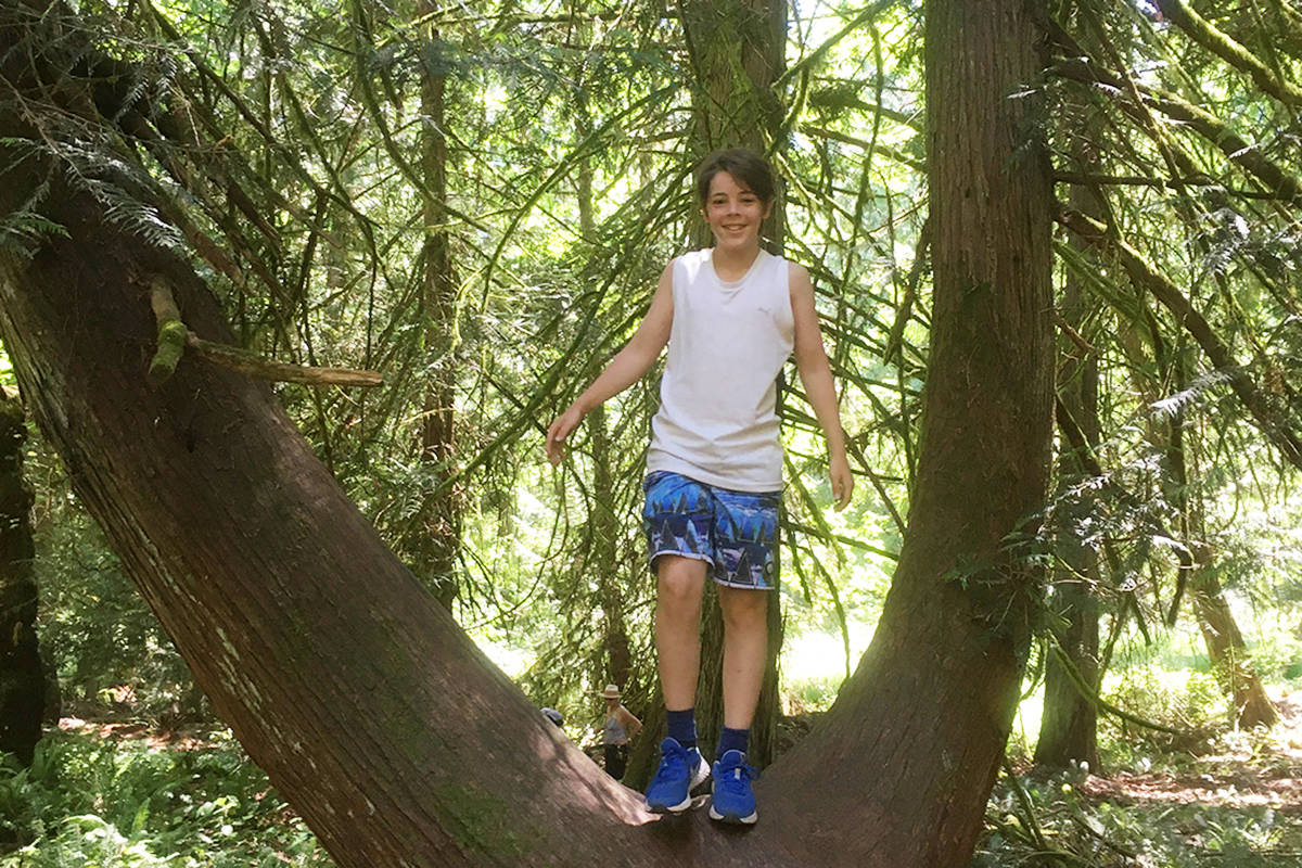





 Photo Contest: How will you Capture Summer?